The story
Sego dug coal for the railroad from about 1910, a company town of several hundred that fought its canyon the whole way: the creek that watered it flash-flooded, then dried; the company store ran scrip; wages arrived late enough to trigger strikes. When diesel replaced coal-fired locomotives, the market died, and Sego surrendered by 1955.
The approach is the bonus: Sego Canyon's mouth holds one of Utah's great rock art sites — Barrier-style ghost figures painted millennia ago, plus Fremont and Ute panels — meaning this ghost town's canyon has been recording vanished peoples for two thousand years.
What remains today
The stone company store shell, boarding-house ruins, dugouts, coal tipple timbers, and a cemetery; the rock-art panels are 3 miles below town.
Society Pro
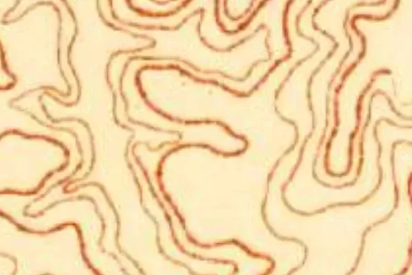
Sego on the old USGS survey, and what the record holds around it
Within five miles the record maps 27 mine shafts, adits and prospect pits, 3 named mineral sites, 0 lost places and 2 cemeteries. Pro puts them on the map with the 1879–1919 survey underneath and a swipe to today.
From the archives
Sego turns up on 14,538 digitized newspaper pages from Utah — read them free in the Library of Congress's Chronicling America collection.
Source: Library of Congress digital collections.
Questions from the field
- Is Sego Canyon's rock art at the ghost town?
- The famous panels are at the canyon mouth, about three miles before the townsite — one stop serves both, which is why Sego is Grand County's best short detour off I-70.
From the field
The most valuable part of this record is the part only visitors can write.
Stamp your passport
Check in at Sego — GPS-verified visits earn an inked stamp.
File a field report
Road conditions, what's still standing, what's gone — your report joins the record.
Add photographs
Credited, dated, and preserved as part of Sego's permanent record.
No field reports yet — sign in to file the first.
Primary sources for this record
- — USGS GNIS feature 1437678
- — BLM — Sego Canyon rock art site
- — Grand County coal-camp histories