The story
Thistle was a railroad junction town where helper engines were added for the climb to Soldier Summit — a Rio Grande company place of several hundred that had already dwindled with dieselization by the 1980s.
In April 1983 the mountainside across the canyon began to move. The Thistle landslide — tens of millions of cubic yards, creeping several feet an hour — buried US-6, severed the railroad's mainline, and dammed the Spanish Fork River, whose rising lake swallowed the town in days. It was the costliest landslide in U.S. history and Utah's first federal disaster declaration; residents salvaged what trucks could carry and never returned.
The lake was drained by tunnel, and today the half-submerged, mud-filled houses in the flat below the rerouted highway are one of the most arresting roadside ghost sights in the country.
What remains today
A handful of gutted, silt-stained structures on the old townsite flat, the rerouted river, and slide scars — all viewable from US-89 pullouts.
Society Pro
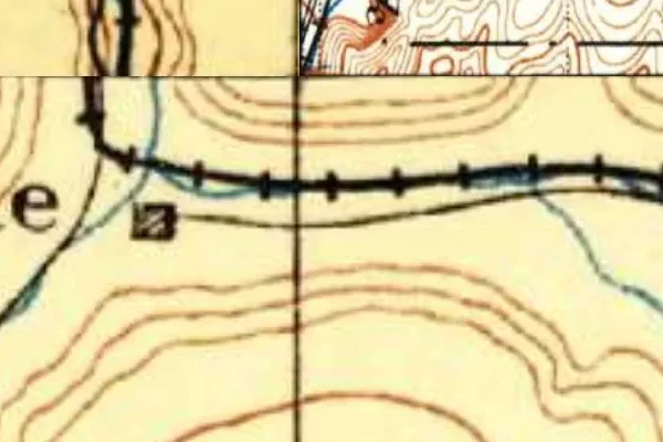
Thistle on the old USGS survey, and what the record holds around it
Within five miles the record maps 6 mine shafts, adits and prospect pits, 19 named mineral sites, 0 lost places and 0 cemeteries. Pro puts them on the map with the 1879–1919 survey underneath and a swipe to today.
From the archives

Source: Library of Congress digital collections.
Questions from the field
- What happened to Thistle, Utah?
- The April 1983 Thistle landslide dammed the Spanish Fork River; the impounded lake flooded the town within days. It remains the most expensive landslide disaster in U.S. history.
From the field
The most valuable part of this record is the part only visitors can write.
Stamp your passport
Check in at Thistle — GPS-verified visits earn an inked stamp.
File a field report
Road conditions, what's still standing, what's gone — your report joins the record.
Add photographs
Credited, dated, and preserved as part of Thistle's permanent record.
No field reports yet — sign in to file the first.
Primary sources for this record
- — USGS GNIS feature 1446533
- — USGS landslide program — Thistle 1983
- — Utah Geological Survey disaster records