The story
Thomas Cruse, an Irish immigrant who prospected for years, struck it fabulously rich here with the Drumlummon Mine (named for his home parish), selling to English investors for a fortune that helped build Helena — including its cathedral. Marysville, named for the first woman resident, boomed to ~3,000 with railroads, churches, and an opera house in the 1880s-90s.
Epic Anglo-American litigation over apex mining rights, then declining ore, wound the district down by the 1920s. About eighty residents, a famous steakhouse, and streets of arrested-decay buildings remain — twenty minutes from Helena and one of Montana's easiest ghost visits.
What remains today
Brick and frame commercial blocks, churches, the rail depot, mine plants on the hill — a walkable mixed living/ghost townscape.
Society Pro
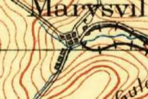
Marysville on the old USGS survey, and what the record holds around it
Within five miles the record maps 480 mine shafts, adits and prospect pits, 58 named mineral sites, 16 lost places and 1 cemeteries. Pro puts them on the map with the 1879–1919 survey underneath and a swipe to today.
Questions from the field
- What was the Drumlummon Mine?
- Thomas Cruse's gold-silver bonanza, one of Montana's richest — its sale financed swaths of Helena, and its later Anglo-American lawsuits made mining-law history.
From the field
The most valuable part of this record is the part only visitors can write.
Stamp your passport
Check in at Marysville — GPS-verified visits earn an inked stamp.
File a field report
Road conditions, what's still standing, what's gone — your report joins the record.
Add photographs
Credited, dated, and preserved as part of Marysville's permanent record.
No field reports yet — sign in to file the first.
Primary sources for this record
- — USGS GNIS feature 1789135
- — Lewis and Clark County histories — Marysville
- — Drumlummon litigation records