State atlas · filed under KS
Ghost Towns of Kansas
Kansas ghosts are prairie arithmetic — county-seat wars lost, railroads that chose the other townsite, and Dust Bowl attrition — plus the mining corner at Galena and Treece that lead and zinc first built and then poisoned.
1,053 sites surveyed across Kansas — 3 charted with full records so far, entered by year of settlement. The rest are awaiting verification.
Survey note
The federal place-name archive records 1,053 vanished or historical sites in Kansas — ghost towns, mining camps, townsites, and railroad stops. We chart them a few at a time, as the records can be verified. Every mark on this map is a place that once had a name.
Society Pro
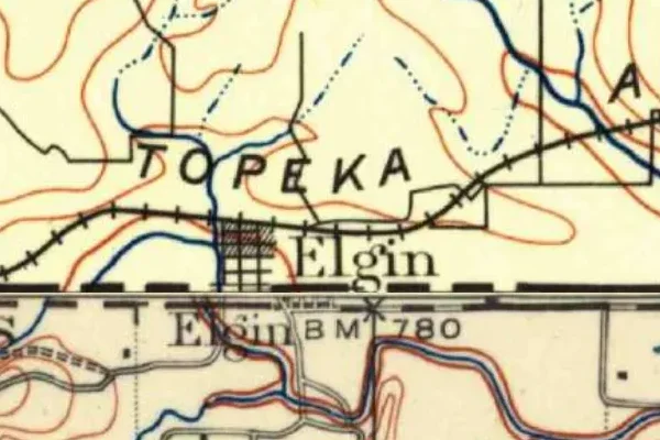
See Kansas as the surveyors drew it, 1879 to 1919
489 USGS survey sheets from those years cover Kansas. Pro lays them over today's map with a swipe between then and now, and adds every mine feature, lost place and mineral site the federal record holds for the state.
The full survey ledger
Every vanished town the federal archive records in Kansas — each with its own record page, verified and expanded over time.