Trip planning · seasons
Best Time of Year to Visit Ghost Towns (State-by-State Weather Guide)
Desert heat, winter snow, monsoon season — when to plan your ghost town trip depending on where you're headed.
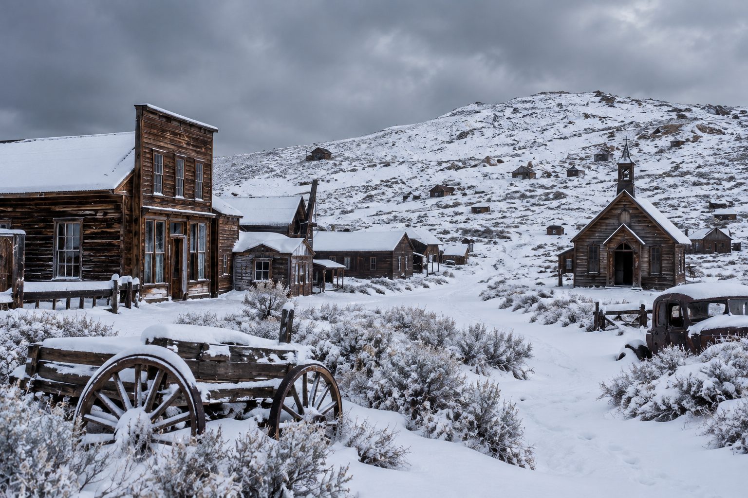
There's no single best time to visit ghost towns, because the honest answer depends entirely on where you're headed — a timing that's perfect for one site can close the road at another. The two things that actually decide your answer are elevation and season: low-desert sites and high-mountain sites fail in opposite directions, hot in summer versus snowed-in in winter, often just a few hours' drive apart. This guide breaks that down state by state for the three states with the most documented ghost towns, plus a quick-reference table and a general rule if you're still deciding.
The two variables that actually decide your timing
Before picking a season, place your destination on two axes: how low and hot it sits, and how high and cold it sits. A desert townsite at 2,000 feet behaves nothing like a mining camp at 8,000 feet, even in the same state, sometimes even along the same highway. Figure out which category your destination falls into first — the state sections below are organized around exactly that split.
California — High Sierra cold vs. Mojave Desert heat
California's ghost towns split almost perfectly along this elevation line, and the two towns we've covered in depth on this site make the case well.
Bodie sits at 8,375 feet in the Sierra Nevada's eastern shadow. Its access road is accessible only by ski, snowshoe, or snowmobile once winter snow closes it, and California State Parks itself recommends calling ahead in winter or spring when the unpaved final stretch can turn to mud. The practical window here is late spring through early fall — summer days are comfortably cool given the elevation, and early fall (September, October) often gets you clear weather without summer crowds.
Calico, by contrast, sits in the Mojave Desert near Barstow — the opposite problem. This is genuine desert country, and nearby Death Valley's own climate data shows why summer is the wrong call here: average July highs around 117°F, dropping to a far more survivable upper-60s in December and January. For Calico and other low-desert California sites, October through April is the comfortable window, with July and August worth avoiding entirely for anything beyond an early-morning visit.
Spring (April–May) adds a bonus at many lower-elevation California sites: desert wildflower blooms can coincide with a visit if winter rainfall was decent that year, though this varies enough year to year that it's worth treating as a possible bonus rather than something to plan entirely around.
Browse the full California hub for more sites — checking each one's elevation before you check a calendar will tell you most of what you need to know.
Nevada — High desert winters and low desert summers
Nevada has the same split as California, with its own well-documented example on each side.
Virginia City sits at just over 6,100 feet and averages around 46 inches of snow a year, with the heaviest snowfall from December through March — genuinely cold, snowy winters, not just chilly ones. Late spring through fall is the comfortable window here.
Many of Nevada's other historic mining districts sit much lower. Rhyolite, just outside Beatty near the California line, sits in low desert minutes from Death Valley National Park — close enough to share that same brutal summer heat profile, and far enough from any high-elevation cooling that it follows the Calico pattern, not the Virginia City one. The rule holds across the state: check the specific site's elevation, because "Nevada" alone doesn't tell you whether you're dealing with Sierra-style winters or Mojave-style summers. For Rhyolite and similarly low-lying Nevada sites, October through April is the comfortable window; for Virginia City and other mountain mining towns, aim for late spring through fall instead.
See the Nevada hub for elevation and access details on specific towns before you commit to a season.
Arizona — Monsoon season and the two-desert problem
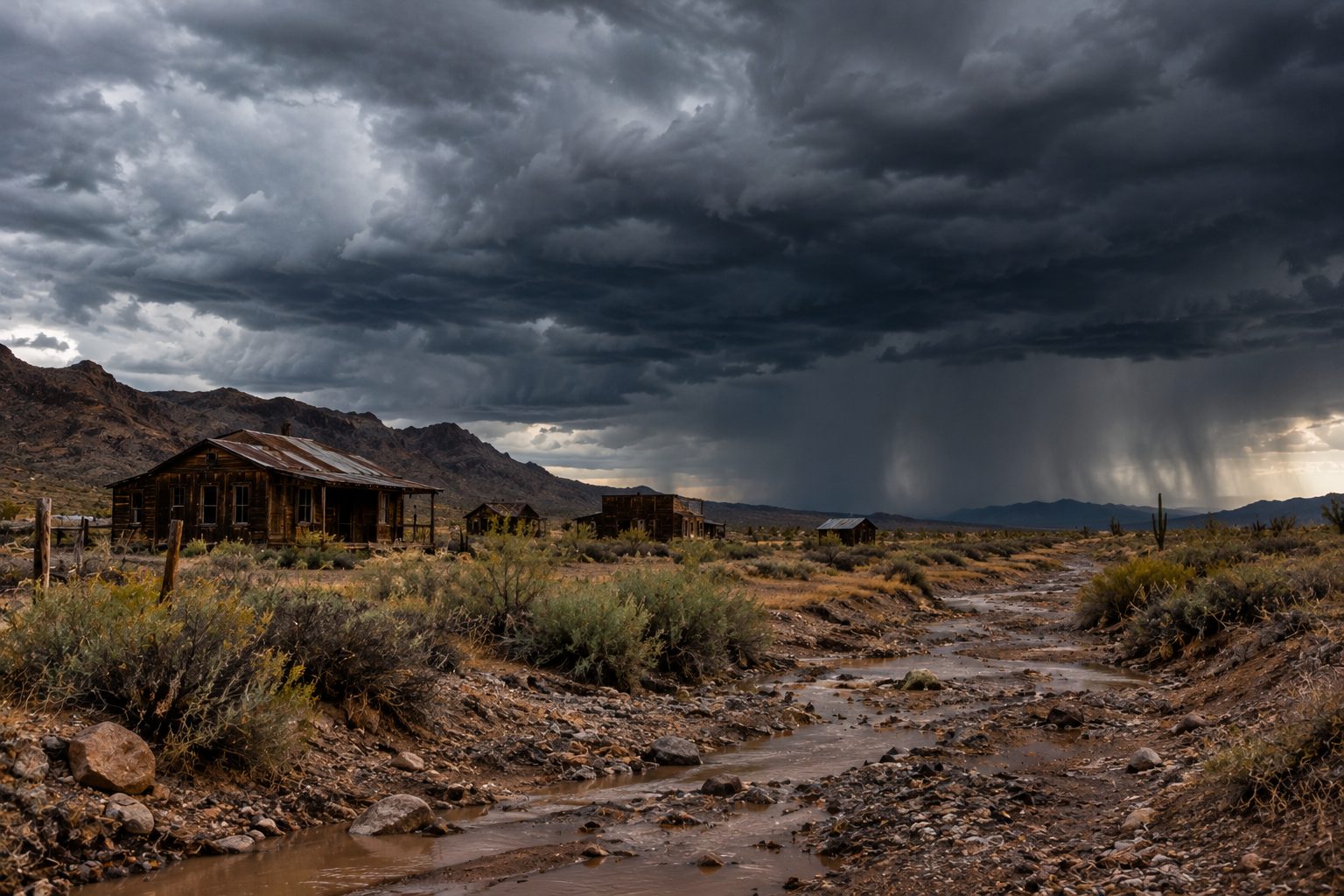
Arizona adds a third variable on top of the elevation split: monsoon season, conventionally running from June 15 through September 30, when afternoon thunderstorms bring a real flash-flood risk to desert washes and dirt roads that are perfectly dry the rest of the year. If you're visiting a low-lying Arizona site during these months, plan around early mornings and keep an eye on the sky — a wash that's dry at 10am can be dangerous by 3pm.
Layered on top of monsoon timing is the same heat problem as California and Nevada's low deserts. Vulture City, southwest of Wickenburg, sits in low desert where summer heat is severe enough that the site's own hours shrink in summer — a direct signal about when not to go. Chloride, in Arizona's higher northwestern country, runs noticeably cooler than the low desert, though it can still see genuinely cold winter conditions at elevation.
Monsoon season brings a second hazard worth knowing about even if you never see rain: dust storms, sometimes large enough to cut visibility to near zero on open desert roads with little warning. If you're driving to a remote site during monsoon months and see a wall of dust ahead, the standard advice is to pull off the road, turn off your lights, and wait it out rather than keep driving into reduced visibility.
The comfortable window for most low-desert Arizona sites is October through April, same as California and Nevada's desert sites — and if you do go during monsoon season, treat afternoon thunderstorm and dust-storm risk as a real planning factor, not a footnote.
Explore the Arizona hub for the full range of sites across both elevation bands.
Quick-reference table
| State | Low-desert sites | High-elevation sites | Key hazard to plan around |
|---|---|---|---|
| California | Oct–April | Late spring–early fall | Summer desert heat (Calico); winter road closure (Bodie) |
| Nevada | Oct–April | Late spring–fall | Summer desert heat; winter snow above ~6,000 ft |
| Arizona | Oct–April | Spring–fall | Monsoon flash flooding (Jun 15–Sep 30); summer low-desert heat |
Treat this table as a starting point, not a guarantee — mountain weather and desert heat waves don't read calendars, and conditions for your specific trip can fall outside these general windows.
Time of day matters as much as time of year
Season decides whether your trip is comfortable; time of day decides whether your photos and your comfort both work out, especially at low-desert sites. Early morning gives you the mildest temperatures of the day and the kind of low, raking light that photographers generally prefer over flat midday sun — a strong reason to plan an early start even in a "safe" season. At high-elevation sites like Bodie, midday is less punishing and arrival timing matters less for comfort, though the light itself still tends to look better in the first and last couple of hours of the day. If photography is a priority for your trip, our ghost town photography guide goes further into timing a visit around light rather than just temperature.
The general rule of thumb, if you're still deciding
Across all three states, spring (March–May) and fall (September–November) are the sweet spot that most consistently works regardless of which specific site you pick — they split the difference between summer desert heat and winter mountain closures, which is exactly why they're the busiest months for ghost town tourism in the Southwest. If you can only commit to a season rather than researching a specific site's elevation, pick one of these two.
Whatever season you land on, check current conditions close to your departure date — access roads, hours, and even monsoon timing can shift year to year, and the official source for your specific destination will always beat a general seasonal guideline.
Beyond California, Nevada, and Arizona
The same elevation logic holds in the other major ghost-town states. Colorado's high-altitude mining camps, many above 9,000 feet, face winter road closures more severe and longer-lasting than anything in the three states above — some are only reliably reachable from roughly June through September, with snow possible at either edge of that window depending on the year. Utah's canyon-country and desert ghost towns follow the same hot-summer, mild-winter pattern as Calico and Vulture City, with the added wrinkle that narrow canyon roads carry their own flash-flood risk during that state's summer storm season. Texas's ghost towns skew toward lower, flatter terrain without Colorado's altitude problem, but still get genuinely uncomfortable during peak summer in the state's western and southern desert regions. The underlying rule travels everywhere: find the elevation, check the regional storm season, then pick the window that avoids that site's worst extreme.
Frequently asked questions
- What's the single best month to visit most ghost towns?
- October, if forced to pick one. It's past the worst low-desert heat and before high-elevation winter closures set in across all three main states covered here.
- Is it ever too hot to visit a ghost town at all?
- Yes — low-desert sites in peak summer (roughly June through August) can be genuinely dangerous, not just uncomfortable, especially given Death Valley-area highs regularly exceeding 110°F. If summer is your only option, go at opening time and treat afternoon heat as a hard stop.
- Does monsoon season mean I should avoid Arizona entirely in summer?
- Not necessarily, but it changes how you plan the day. Visit low-lying desert washes and dirt roads in the morning, watch the forecast, and be ready to turn back if afternoon storms build — flash flooding is the real risk, not just rain.
- Can I visit Bodie in winter?
- Only with serious winter travel gear (skis, snowshoes, or a snowmobile), since the road itself closes to standard vehicles. For a normal first visit, plan for late spring through early fall instead.
- Are ghost towns less crowded at a certain time of year?
- Generally yes — summer and the shoulder-season weekends draw the heaviest crowds at well-known sites like Bodie and Calico, since that's also when travel in general picks up. A weekday visit just outside peak summer (late September, for example) tends to combine decent weather with noticeably fewer people.
Pick your season, then explore the map
Once you've matched a season to your destination's elevation, the easiest next step is seeing what's actually out there. Explore the map to find ghost towns by state and plan your trip around the window that fits.