The story
Uravan — the name splices URAnium and VANadium — was built by U.S. Vanadium in 1936 on the San Miguel River, and its mills processed the ore that fed the Manhattan Project and the Cold War arsenal. About 800 people lived in the company town at its peak, with a pool, a school, and Little League under the red canyon walls.
The industry's collapse in the early 1980s closed the mill; the contamination closed everything else. Declared a Superfund site, Uravan wasn't just abandoned — it was dismantled, and its buildings, soil, and debris were sealed in lined repositories on the mesa above. By the early 2000s, nothing of the town remained above ground.
Former residents — 'Uravanites' — still hold reunions at the picnic ground that replaced their town, which may be the most poignant version of a ghost town there is: one where even the ruins are gone.
What remains today
Almost nothing — a community picnic pavilion, interpretive signs, and the capped repositories. The townsite itself is graded river bottom.
Society Pro
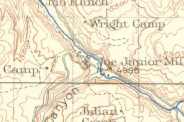
Uravan on the old USGS survey, and what the record holds around it
Within five miles the record maps 894 mine shafts, adits and prospect pits, 426 named mineral sites, 0 lost places and 0 cemeteries. Pro puts them on the map with the 1879–1919 survey underneath and a swipe to today.
From the archives
Uravan turns up on 51 digitized newspaper pages from Colorado — read them free in the Library of Congress's Chronicling America collection.
Source: Library of Congress digital collections.
Questions from the field
- Why is there nothing left at Uravan?
- Radioactive contamination from decades of uranium milling forced a Superfund cleanup that demolished and buried the entire town in engineered repositories. It's a ghost town with no ruins by design.
- Is Uravan safe to visit?
- The remediated roadside site and picnic area are open and safe; the capped repositories are fenced. Stay out of posted areas.
From the field
The most valuable part of this record is the part only visitors can write.
Stamp your passport
Check in at Uravan — GPS-verified visits earn an inked stamp.
File a field report
Road conditions, what's still standing, what's gone — your report joins the record.
Add photographs
Credited, dated, and preserved as part of Uravan's permanent record.
No field reports yet — sign in to file the first.
Primary sources for this record
- — USGS GNIS feature 203153
- — Department of Energy / UMTRA — Uravan remediation records
- — Rimrocker Historical Society — Uravan